
University Park Neighbors by Block Source
Public sources around a University Park block answer separate questions. DCAD maps describe parcels. The account card labels the assessed owner, mailing field, situs, and legal description. County Clerk records identify recorded transfers. City permits add a construction or inspection trail. The state’s individual voter tool is person-centered, not a block browser. Historic reference volumes and civic rosters can add context, but neither becomes a current household list.
| Source | What It Shows About a Block | Access |
|---|---|---|
| DCAD map and card | Parcel geometry, account, assessed owner, mailing field, situs, legal description | Free web map and card; no occupant list |
| Dallas County OPR | Transfers affecting a lot or legal description | Free index; copy and certification routes separately |
| University Park permits | Address-specific construction and inspection chronology | Activity report, city records request, Community Development |
| Chapter 18 voter file | Specified voter-data fields under formal rules | Paid request, filters, affidavit; confidential fields withheld |
| Resident Committees | Public civic appointees, agendas, minutes, staff reports | City repository; not a household roster |
A map neighbor means an adjoining parcel. It does not mean a particular person lives there, receives mail there, or belongs to a household at that address. Keep the assessed-owner label distinct from every other claim.
University Park Neighbors at the Target Parcel
DCAD address search accepts a number, direction, street name, building, suite, city, and account type. The city and account-type choices are optional. A street name needs at least two characters, accepts a percent wildcard, and does not use a separate street-type field. Start with the exact address when possible, then open the blue property-address link rather than assuming a search result is the final parcel card.
The card’s account number, property location, owner label, owner mailing address, legal description, map link, exemption information, and history tabs help keep each University Park neighbors record tied to the same property. Copy the account number and the date of the map view because ownership and parcel data change.
See the DCAD address-search form that supports a University Park neighbors parcel search.
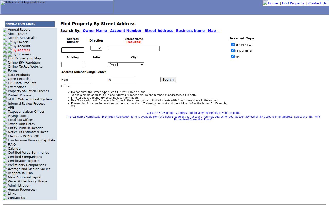
The address form identifies a target property. It does not show a street-wide list of persons or establish who is currently present at a parcel.
University Park Neighbors Map Controls
The DCAD map help documents Zoom, Pan, Identify, Parcel Identify, Measure, layers, and print. After reaching the target street, use Identify or Parcel Identify to select the target shape. Click only the adjoining parcel polygons when tracing University Park neighbors. Measure can show a distance or buffer-like relationship, but it is not a legal boundary survey.
Dallas County’s GIS office identifies DCAD as the source for parcel data. That makes the DCAD account card the next record after a map selection, not a separate county people database. The card returns to the parcel’s owner, mailing field, situs, legal description, and value or history tabs.
Review the DCAD parcel-map controls used for this University Park neighbors workflow.
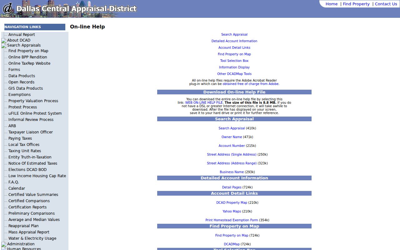
Layers and print tools document the map view, while parcel selection supplies the account link for the next record check.
Mapping a University Park Block
A repeatable parcel flow is safer than trying to infer neighbors from scattered name matches. The purpose is to identify the lots surrounding one location and then read each official label exactly as it appears. The full street-by-street record chain belongs to the University Park Streets directory; the method here stops at the immediate parcel relationship.
- Locate the target address in DCAD and open the linked property card. Save its account number, situs, legal description, and map date.
- Open the map, pan or zoom to the target, select it with Identify or Parcel Identify, then click each adjoining polygon one at a time.
- Open each adjacent account card and record the assessed owner, tax-mailing address, and situs as separate fields. Do not combine them.
- Use the legal description or instrument number in the OPR index when a recorded transfer needs confirmation. Return to the map only to test parcel adjacency.
- Parcel
- A mapped piece of land represented by an appraisal account. It is not a statement about every person connected to the address.
- Situs address
- The location of the property on the assessor’s record.
- Mailing address
- The destination for tax notices. It can differ from the situs and does not establish residence.
- Legal description
- The lot, block, subdivision, or other property identifier used in recorded documents.
University Park Neighbors and Lot Transfers
Dallas County Clerk Official Public Records is the place to verify a transfer associated with an adjacent lot. The free public index can be searched by grantor, grantee, document type, recorded-date range, document number, or legal-description text. Its results can supply the grantor, grantee, document type, recorded date, instrument number, book or page where present, and an available document link.
Use the lot and legal description from DCAD to avoid confusing two nearby addresses. A deed documents a legal transfer. It does not prove current presence at a University Park parcel. Plain or certified copies are separate from the public index and must be requested through the Clerk’s route when needed.
Open the Dallas County OPR index to compare the University Park neighbors transfer record.
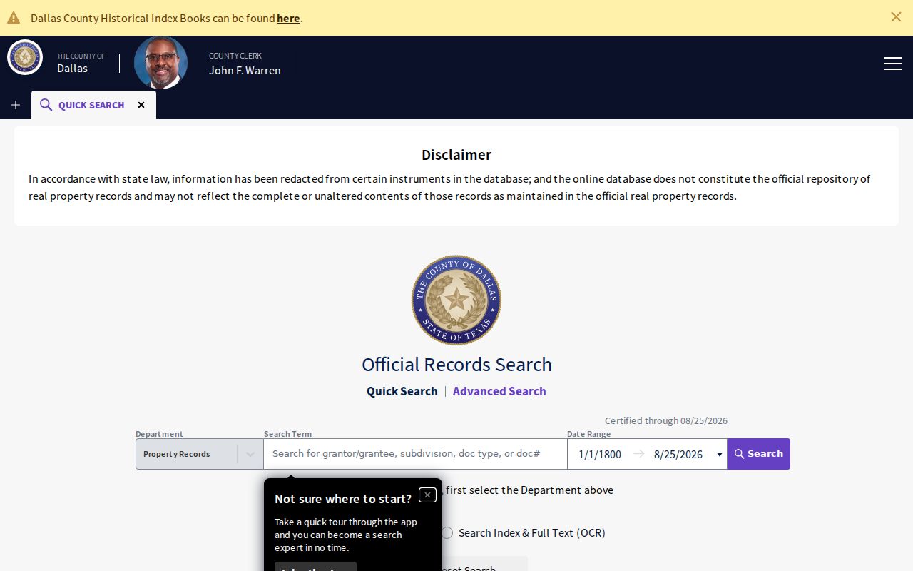
The grantor and grantee fields offer a transfer trail only after the legal description is matched back to the target parcel.
University Park Neighbors and Permit Context
University Park Building Permits provide physical-record context around a block. The city names building, plumbing, mechanical, electrical, demolition, and relocation permits, and its page links monthly activity reports through the city’s document system. A permit can explain construction timing or a city-held record reference. It does not create a resident list.
For an older or unavailable permit file, use a narrow Texas Public Information Act request for an existing address, date range, and record type. Community Development is listed at 214-987-5411. Ask for the specific permit or report, not for a compiled account of everyone around an address.
Note: Permit material may identify an applicant or contractor only when that document itself makes the field public.
University Park Neighbors Civic Roster
The verified public civic roster for University Park is the city’s Resident Committees repository. It publishes appointed resident roles along with agendas, minutes, and staff reports. Terms normally run two years and align with biennial Council elections. These records show civic service, not street membership or a private neighborhood directory.
| Public committee examples | What the city repository provides |
|---|---|
| Public Safety | Appointed-member and meeting-material context |
| Public Utility | Public civic roster and related records |
| Public Works | Public civic roster and related records |
| ZADAC and Public Art | Appointed roles, agendas, minutes, and staff reports |
No verified current private University Park association or neighborhood member list was located in the research. Dallas Public Library and SMU materials may identify older civic events and groups, but historic files do not establish a current roster.
For historical context, Dallas Public Library’s Dallas History & Archives keeps vertical files, newspapers, directories, maps, and oral histories. SMU DeGolyer holds maps, photographs, newspapers, rare books, and archival collections. Those repositories can help date an old civic event or identify a past organization, especially when a committee minute points to a local issue. They are archival leads, not evidence that a person remains connected to a present University Park block.
See the University Park Resident Committees source for the public civic roster.
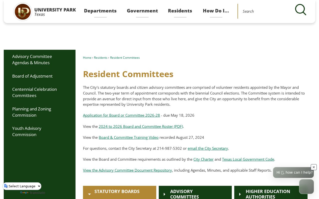
The committee source adds a public civic layer to a block search without identifying a private household network.
University Park Neighbors and Voter Access
The individual Texas voter lookup uses VUID, the driver-license number supplied at registration, or first and last name. It is not a block interface. A block file is instead a paid Chapter 18 request with county and election filters, delivery rules, and a use affidavit. The request can include specified registration fields, but protected and suppressed records are withheld.
A precinct or district is an election geography, not proof that two parcels touch. Texas confidentiality rules also permit web suppression and protected-address handling. Do not infer a household from a voter match or publish an address the custodian has withheld.
University Park Neighbors Official Source Comparison
Commercial neighborhood categories can combine old and mismatched fragments. They may be stale, may attach the wrong person to an address, and do not override a parcel boundary or a custodian’s privacy decision. For a University Park neighbors question, compare the official record that answers the exact question instead of treating one compiled result as conclusive.
| Source type | Reliable use |
|---|---|
| Official parcel and OPR record | Identify the lot, assessed owner label, legal description, and recorded transfer trail |
| City permit or civic record | Place a public construction or civic fact in time |
| Commercial category | At most, a prompt to verify against the official custodian |
Note: A parcel map and an official civic roster can be checked against their custodians, while a compiled category may lack a clear record date or source.
University Park Neighbors Privacy Limits
Utility accounts, delivery information, DMV addresses, protected voter addresses, and many court or vital details are not public block records. The Texas Address Confidentiality Program uses an alternate address for qualifying participants. A protected voter’s name can appear with asterisks in place of the residence address. Do not try to piece together a protected location from map, voter, or mailing fragments.
Lawful use. University Park neighbors research is limited to personal, lawful property curiosity, civic context, and family-history questions. Using records to watch, harass, intimidate, or harm anyone can violate Texas law.
For a correction, contact the custodian that created the record. A DCAD correction, county filing issue, voter-confidentiality request, or city record request follows its own official process.